Navigation Videos
Learning map and compass skills is a better "show" than a "tell". Watch the videos below on the CROC YouTube channel to learn the core skills of wilderness navigation.
Our tutorial videos cover map and compass skills needed for backcountry navigation, as well as some of our favorite types of mapping software and a great smartphone GPS app.
(Some of these are best viewed full screen; do so directly from YouTube at the link below.)
Video topics
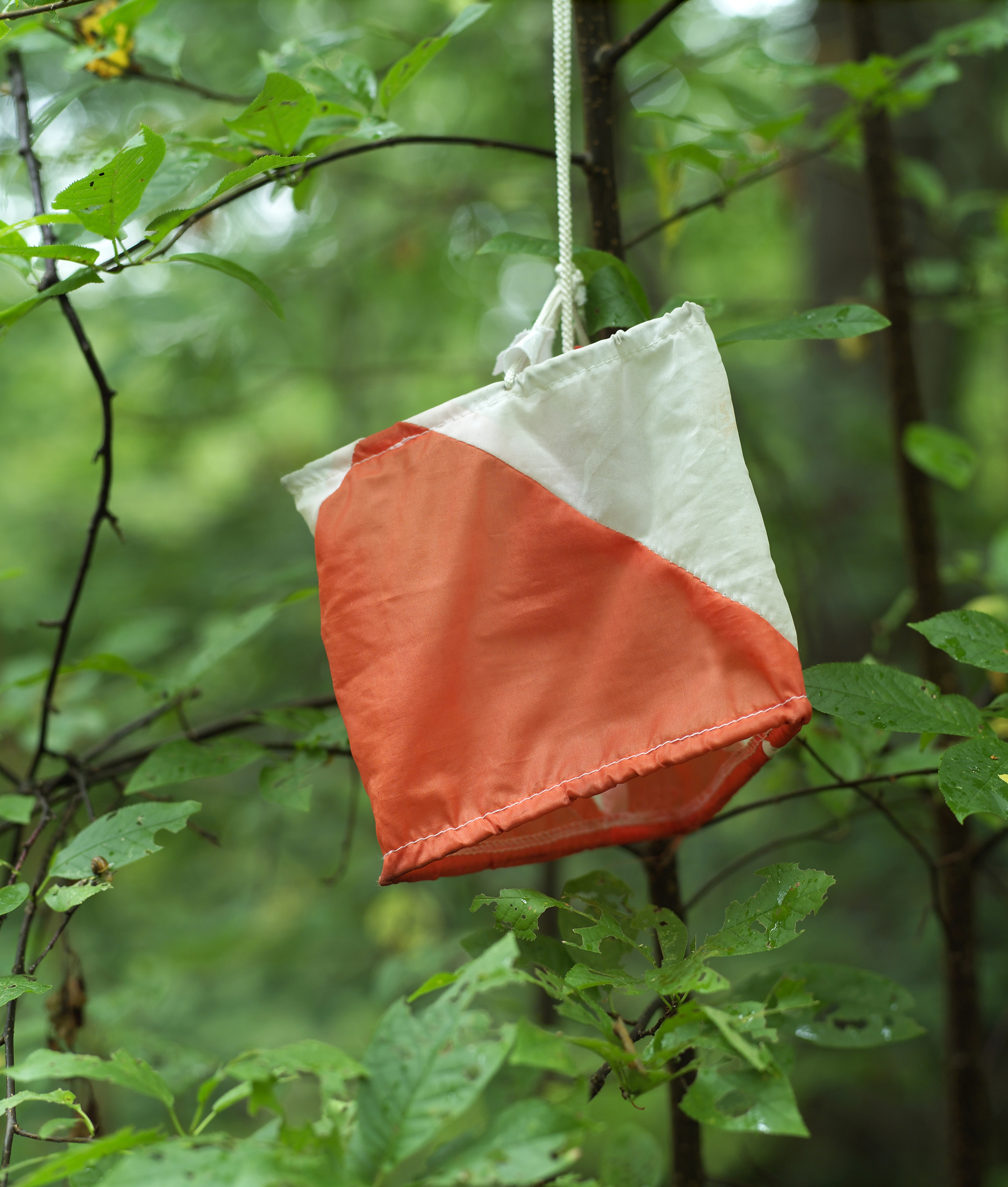
Purple Pen - Tutorial for orienteering course setting
Caltopo - Learn how to print free topo maps
Gaia GPS - Learn to use the best backcountry GPS smartphone app
GPSies.com - Use this website to find GPS tracks and download them for free
Wilderness Navigation #1 - Parts of a Compass
Wilderness Navigation #2 - Putting "Red in the Shed"
Wilderness Navigation #3 - Taking a Bearing
Wilderness Navigation #4 - Following a Bearing
Wilderness Navigation #5 - Measuring a Bearing from a Map
Wilderness Navigation #6 - Plotting a Bearing onto a map
Wilderness Navigation #7 - Orienting your map
Wilderness Navigation #8 - Using a "finger scale" to measure distance
Wilderness Navigation #9 - Adjusting declination on your compass
Wilderness Navigation #10 - Deciphering Declination
Wilderness Navigation #11 - UTM coordinates
Wilderness Navigation #12 - Contours and Elevation
Wilderness Navigation #13 - Contours and Terrain
Wilderness navigation #14 - Map Scale and Measuring Distance
Wilderness navigation #15 - Smartphone Tools for Wilderness Navigation
WIlderness navigation #16 - Staying Found - Wilderness Pre-Trip Planning