Event overview
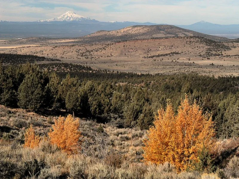
Crooked River National Grassland is a network of federal land northeast of Madras, Oregon, partially bordering Smith Rock State Park. The terrain here is hilly, generally open desert grassland, with occasional open juniper forest, and lots of small rocky outcrops. Teams have a fixed time limit to find as many mapped control markers as possible in any order.
Times
- Registration: 7-9 am
- Map handout: 9 am
- Start time: 10 am
- Finish time: 4 pm
All teams must check out through the course finish gate before leaving the park, even if the team does not finish the course or returns after the course closes.
Event details
- Teams must have a minimum of 2 members, a maximum of 5.
- There will be water on the course and fruit and liquid refreshments afterwards.
- Some camping at the meet site will be available. This is federal land and primitive camping on the numerous side roads is allowed.
- Please email an RSVP to the meet director so we know how many maps to print.
Course
About 30 control points are placed over approximately 16 square miles at various locations. These locations are circled on a map and marked on the ground by orange and white orienteering marker flags. Each control has a point value, which is equal to the checkpoint number rounded down to the tens place. For example, a checkpoint numbered 72 would be worth 70 points. The object is to score as many points as possible within the time limit. There are large point penalties for returning late; don't do it! Maps are issued 1 hour before the start, so teams have time to plan their route. You may visit the controls in any order. No GPS use is allowed.
Electronic scoring will be used. E-punch rental fee is $1.
Rogaine tips
Top Ten Rogaine Tips (from CROC members John Godino and John Bartholomew). These were written for a 24 hour event, but still has good hints for a shorter navigation race like this one.
Registration and other costs
The event is open to the public.
All participants must register and sign the liability waiver before entering the course. You can email it to the meet director ahead of time, bring it with you, or sign one when you get there.
All teams must check out through the course finish gate before leaving the park, even if the team does not finish the course or returns after the course closes. That way we know you're back safely.
Cost per person is $25 CROC or other orienteering club members, $30 Mazamas members, and $35 for everyone else. Cash or check or PayPal accepted. Each team member receives a course map and a control description sheet.
While there is no pre-registration, emailing the meet director of your intention to attend at least 5 days before the meet will help us print the correct number of maps.
Registration will be at the event center from 7 am to 9 am the morning of the event.
Need a partner? Email the meet director below, and we'll try to hook you up with someone with your skills and speed.
Want to carpool? Email the meet director below and try to help you get there.
Note: Getting to the event start can be a little tricky! Be sure to have a good look at the driving directions (from the link at the very bottom of this page) and print them out.
Results: See Events and results page.
Contact:
Meet director: Vanessa Blake