EVENT OVERVIEW
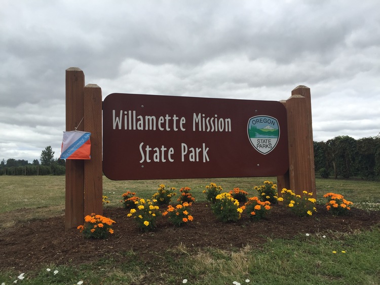
Willamette Mission Park is a 1,680-acre state park with many miles of running trails winding along the Willamette River, backwater sloughs, and agricultural fields. The park is very accessible, yet large enough to give participants a feeling of "getting out there." There is a nice mix of paved paths, open farm fields, and wooded "thickets" to explore. The terrain is flat and looks open, but most of the orienteering route choices will include trails due to blackberry thickets or other dense vegetation or cultivated land which may or may not be planted. The advanced course will be designed with the challenge of multiple route choices for most legs, and will be a little longer than typical due to the flat terrain.
Due to enthusiastic stinging nettles in parts of the course, wearing long pants or running tights is highly recommended.
TIMES
- Registration 10:30 am - 12:45 pm
- Beginner clinics 10:45 am - 12:00 noon as needed
- Intermediate workshop: Route Choice 10:00 to 10:45 am
- Course starts for individuals and teams anytime between 11:00 am - 1:00 pm
- All courses close 3:00 pm
All teams must check out through the course finish before leaving the park, even if the team does not finish the course or returns after the course closes.
COURSES
- White: Beginner (about 2 Km, 8-10 controls, easy, on-trail and near-trail navigation)
- Yellow: Beginner / Intermediate (about 3 Km, 10-12 controls, easy, on-trail and near-trail navigation)
- Orange: Intermediate (about 4 Km, 12-14 controls, some off-trail, mostly on-trail navigation)
- Green: Advanced (about 5 to 6 Km, 15-20 controls, mostly off trail navigation)
Each participant or team receives a course map and a control description sheet.
ORIENTEERING MAP FROM PREVIOUS EVENT
Intermediate Workshop: Route Choice 10:00-10:45 a.m.
There may be a better faster route than going directly over the hill, or through the stream, or 800 meters through a non-descript forest. Learn how to evaluate and make smart choices for your best legs. After the workshop you can apply the skills in the orienteering course.
Intermediate Workshops are for people who have done an orienteering course and want to improve their techniques in navigating off trails. No cost for the workshop. Meet at the orienteering registration site at 10:00 a.m.
VOLUNTEERS
All CROC orienteering events are put on by volunteers, and the meet director can almost always used some extra hands. Please keep in mind:
- No prior experience is needed for many of the tasks
- You can help out AND still run your course of choice
- Your entry fee is FREE if you help out with a meet!
Typical ways to assist are: helping with starts and finishes, checking in folks at registration, and picking up control flags after the course closes.
Please contact the meet director at the email address on the bottom of this page if you'd like to volunteer at this event. For more details, see the Volunteer pages.
RESULTS
Results are posted to the Events & Results web page a few days after the event.
REGISTRATION AND OTHER COSTS
The event is open to the public. Note: If you join CROC at this event, ($20 individual, $25 family/group annual membership), your event fee is FREE! Ask about this at meet registration. All participants must register and sign the liability waiver before entering the course. Each participant or team receives a course map and a control description sheet.
Fees for this event are (new as of March 2017):
- $17 - individual (non-member)
- +$5 - any additional persons in your group
- subtract $5 for CROC members
- subtract $5 for using your own epunch
- kids under 10 are free
- youth groups / scout groups: $15 per team
These fees do not include any extra daily use fee charged by the park. You must pay these separately. Oregon State parks charges $5 for day use, $30 for a 12 month pass and $50 for a 24 month pass.
CONTACT
Meet director: Ken and Debbie Wenzel
skiwenzel at hotmail.com
Home Phone 503-297-2958
Ken’s cell 503-729-6571
Debbie’s cell 503-422-1524
MAP AND DIRECTIONS
Latitude longitude coordinates (copy/paste into Google maps to get a map and driving directions: 45.0810, -123.0460
From I-5 Freeway south of Portland, between Woodburn and Salem:
Take Exit 263 Brooklake Road (sign to Silverton, Gervais, and a large Pilot brand gasoline station and truck stop on the west side of the freeway). Go west on Brooklake Road 0.7 mile to the stop light at River Road.
Continue west on Brooklake Road for an additional 1.1 miles to the T junction with Wheatland Ferry Road.
Turn right (north) on Wheatland Road for 2.4 miles to the main gate entrance to Willamette Mission State Park.
Turn left (west) into the park, staying on the straight-ahead main road for 1.6 miles to the side road to the "Walnut Grove" labeled as Mission Lake A and B areas (if you miss the junction and go to the end of the road you are in the "Filbert Grove" parking area.)